
Geography
Wisconsin
Level of Effort
Medium
Overview
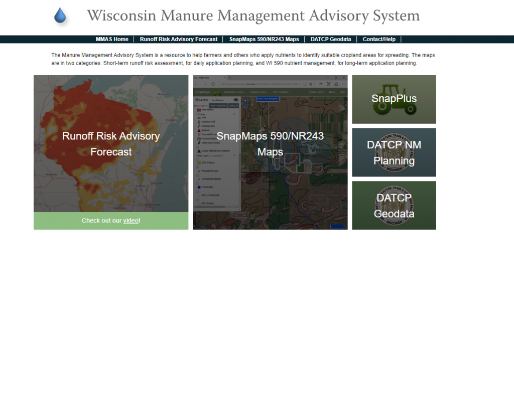
This tool provides a set of maps that help farmers who apply manure as a nutrient source to identify suitable cropland areas and times for spreading.

Features
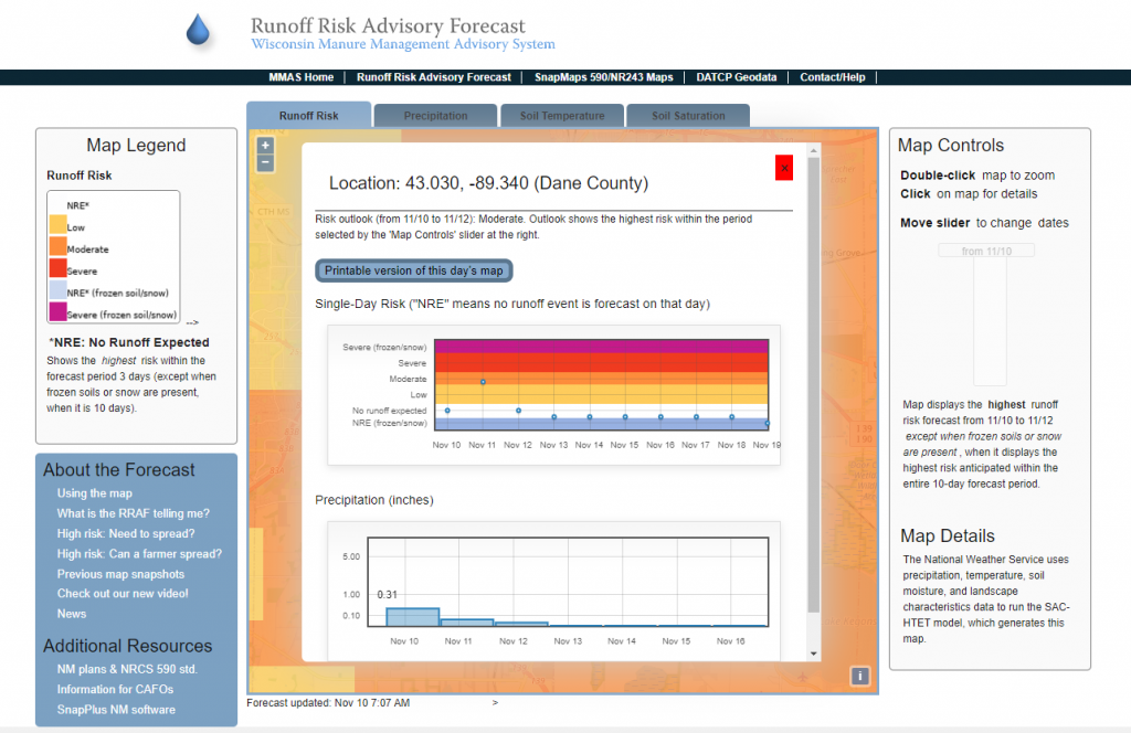
- View a short-term runoff risk assessment to aid in daily nutrient application planning
- View forecasted precipitation, soil temperature, and soil saturation data
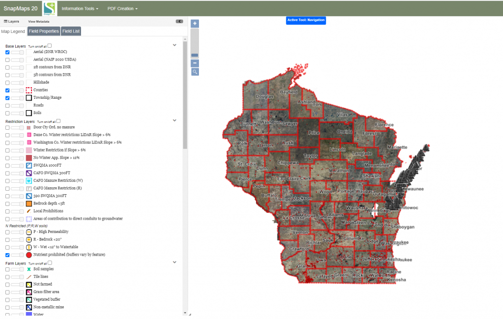
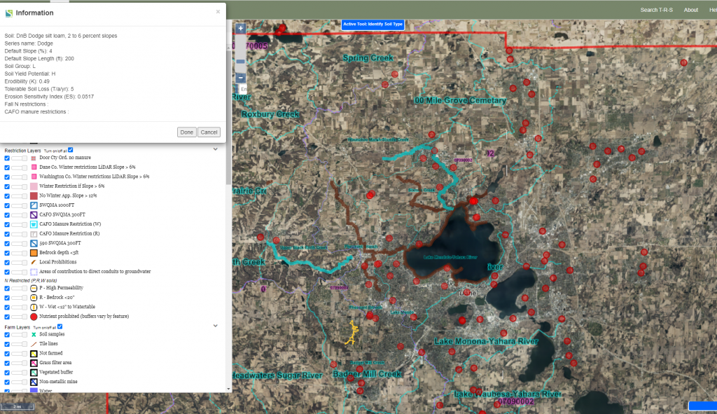
- Access 590 and NR243 restriction maps using SnapMaps to aid in long-term nutrient application planning
Guidance & Resources
The Manure Management Advisory System is a resource to help farmers and others who apply nutrients to identify suitable cropland areas for spreading.
Tool Custodian
Related Data & Tools
- Wisconsin Department of Agriculture, Trade and Consumer Protection
Tags
nutrient management, nutrient application, runoff risk, 590, manure, manure application, Wisconsin, Department of Agriculture