
Geography
Wisconsin
Level of Effort
Low
Overview
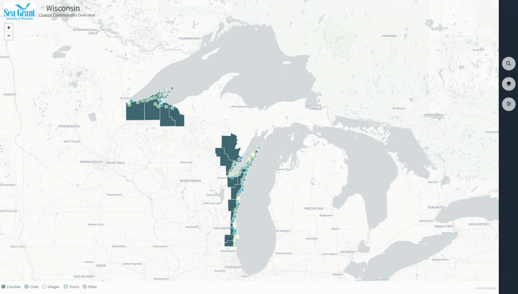
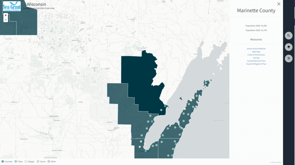
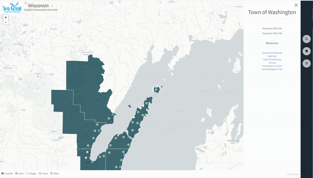
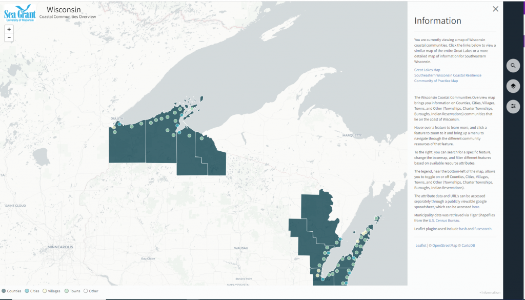
This interactive map provides information about the counties, cities, villages, and towns that border Lake Michigan and Lake Superior. Click on a community to view population statistics and link to their government website, interactive map, community plans and development codes and ordinances.
Features
- View historic and current population data for counties, cities, villages, and towns along Wisconsin’s Great Lakes shorelines
- Access links to government website, interactive maps, community plans, and development codes and ordinances
- Filter the map to only show locations with a particular resource available
Guidance & Resources
This resource is intended for a broad audience, including coastal property owners, city planners, and resource managers.
Map Custodian
Related Data & Tools
Tags
coastal communities, population, websites, GIS, land information, web mapping, comprehensive plans, hazard mitigation plans, zoning, codes and ordinances, Great Lakes, Lake Michigan, Lake Superior, Wisconsin