Wisconsin Coastal Atlas > Groin Field Impacts at Sheridan Park
Geography
Wisconsin
Level of Effort
Low
Overview
This story map addresses the unintended consequences of groin fields and best practices for minimizing them through a case study of Sheridan Park in Milwaukee County.


Goals of the Story Map
- Explain what groin fields are and why they are constructed
- Evaluate the benefits and costs of using groin fields to control coastal erosion
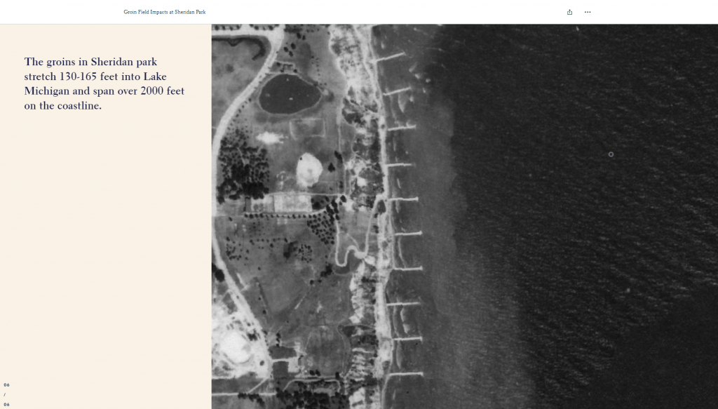
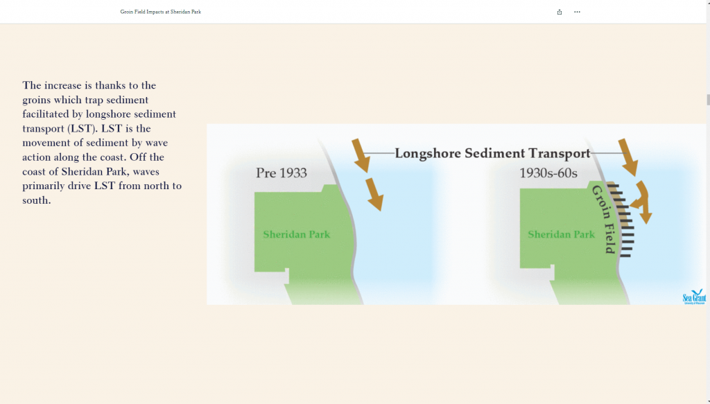
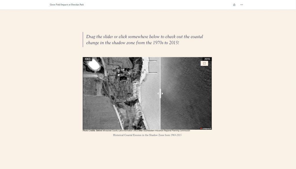
- Use Sheridan Park as a case study to show the effects of the groin field over time
Guidance & Resources
This Story Map is intended to educate the public, especially coastal planners and engineers, about the potentially harmful effects of constructing coastal groin structures.
Resource Custodian & Partners
Related Learning Opportunities
- University of Wisconsin Sea Grant Institute
- University of Wisconsin Cartography Lab
Tags
groin, groin fields, coastal erosion, Milwaukee, Lake Michigan, Wisconsin
